- Uncategorized
- Environmental Resource Assessment & Management
Supporting Wetlands Today and Throughout the Year
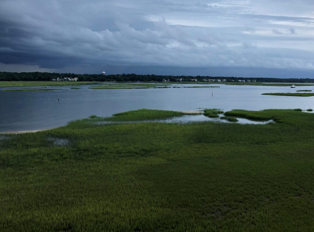
February 2 is World Wetlands Day, a day to celebrate and honor these invaluable ecosystems. Through a variety of projects on several contracts, our employee owners support wetlands throughout the year. Below are some examples of projects that CSS works on to support wetlands and promote the benefits they provide.
- National Wetland Condition Assessment. Our employee owners have supported research in wetland biogeochemistry and ecology for over two decades through our contract with the U.S. Environmental Protection Agency Pacific Ecological Systems Division in Corvallis, Oregon. Much of this work has been associated with National Wetland Condition Assessment as part of the EPA National Aquatic Resources Surveys. CSS staff helped develop field protocols, analyze water samples, and conducted field surveys.
- Field Studies. Through our contract with NOAA’s National Centers for Coastal Ocean Science, we have supported many projects related to wetlands around the country, including monitoring and assessing wetland restoration projects, using unoccupied aircraft systems to monitor wetlands, ecological assessments, economic valuation of wetlands for shoreline protection, and many more. Our scientists work in the field along with NOAA scientists to study and collect data that will be useful to coastal communities and decision-makers.
- National Estuarine Research Reserve System. Our employee owners primarily serve as coastal management technical experts and liaisons between the national estuarine research reserves and NOAA’s Office for Coastal Management (the agency that manages the system in partnership with state agencies, academic institutions, or non-profit organizations). The estuarine reserve system protects nearly 1.4 million acres of estuarine, wetland, riverine, forest, and open water environment.
- Data and Tools. Through the contract with NOAA’s Office for Coastal Management, our staff develop and manage data, tools, and training that help coastal managers understand the benefits of wetlands. These products include Land Cover Data, Sea Level Rise Viewer, Coastal County Snapshots – Wetland Benefits, and the Coastal Flood Exposure Mapper.


See More CSS Insights
Quality Assurance Audit Reports
Since 1985 we’ve supported the National Institute of Environmental Health Sciences and have provided more than 1,600 quality assurance audit reports that the client has used to assess the quality of toxicology studies they sponsor. Over the last year our employee owners reviewed several studies involving per- and polyfluorinated substances (PFAS) compounds, or “forever chemicals”,…
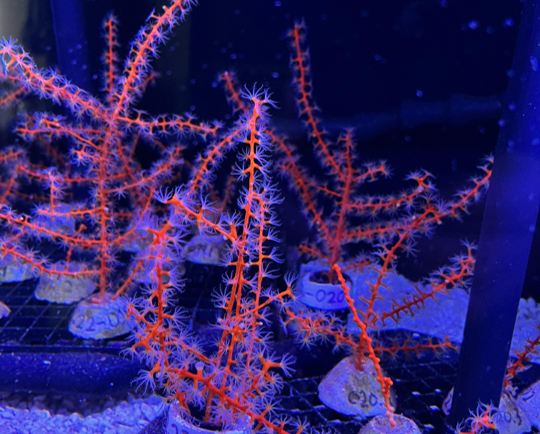
Studying Mesophotic Coral Health
Mesophotic coral can live at depths of 500 feet below the ocean surface. Even at this depth, some of the mesophotic corals in the Gulf of Mexico were affected by the Deepwater Horizon oil spill in 2010. Our coral scientists supporting NOAA’s National Centers for Coastal Ocean Science are studying the extent of this impact.…
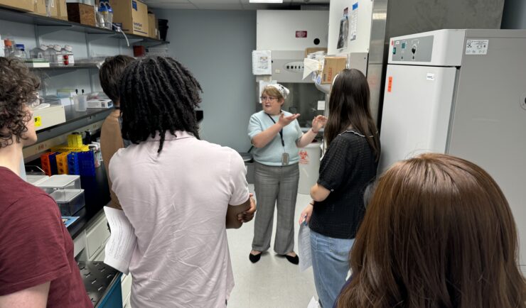
Training the Next Generation of Researchers
CSS staff support the National Institutes of Health (NIH) Division of Occupational Safety and Health by providing Safe Techniques Advance Research Science (STARS) training to summer interns. Following a pause during the pandemic, staff resumed training May 15, 2024. During the in-person STARS training, CSS staff cover key concepts from the pre-requisite NIH Lab Safety…