- Employee Spotlight, Success Stories
- Environmental Resource Assessment & Management
Employee Owners Nominated for NOAA Gold Medal Award

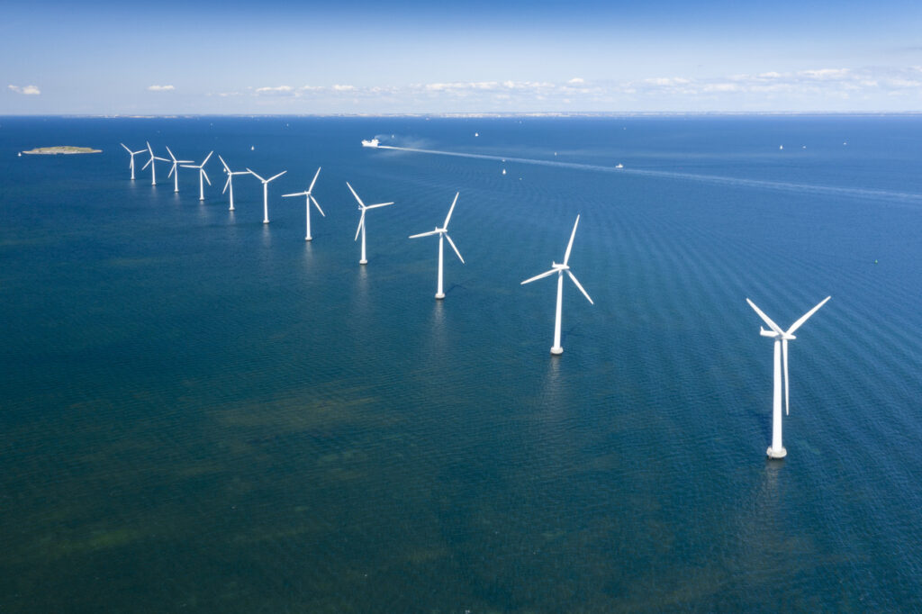
Congratulations to CSS employee owners supporting NOAA’s National Centers for Coastal Ocean Science for their nomination for the NOAA Gold Medal Award! CSS employee owners have been critical members of the team charged with the rapid development of spatial models that aid in offshore wind planning in the Gulf of Mexico. The team has collected authoritative data, developed maps and spatial models, engaged with partners, and managed the project to inform siting of ocean use, environmental review, and permitting. This effort provides guidance to the Bureau of Ocean Energy Management, the agency responsible for identifying and leasing wind energy areas. This is a tremendous accomplishment that advances the President’s offshore wind energy priority and notably reduces conflict.
A big congratulations to the entire team of NOAA and CSS employee owners on this well-deserved nomination!


See More CSS Insights

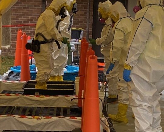
Developing a Decontamination Line Guide for EPA Responders
CSS employee owners supporting the Environmental Protection Agency’s (EPA) Scientific and Technical Assistance for Consequence Management (STACM) contract have been working with the National Chemical Preparedness Workgroup and Sub Workgroups to create a decontamination (decon) line guide and detailed drawing for EPA on-scene coordinators and EPA’s special teams to use for emergency responses and incidents. The…

New Contract. Same Great Work.
We’re pleased to announce a new small business joint venture with Paul Bechtel & Associates (PB&A), which was awarded a 5-year contract to continue supporting the U.S. Environmental Protection Agency’s (EPA) Office of Pesticide Programs. For 40 years our staff have supported EPA’s Office of Pesticide Programs in the review and evaluation of pesticide data.…

Collecting and Studying Deep-Sea Coral
Three of our staff supporting NOAA’s National Centers for Coastal Ocean Science joined a team of nine other scientists on a 12 day expedition to collect deep-sea coral samples in the Gulf of Mexico.
