- CSS News
- Environmental Resource Assessment & Management
Presenting and Networking at Coastal Geotools 2023
Several of our employee owners attended the Coastal Geotools conference in Charleston, SC. This conference is the largest conference for coastal resource managers focusing on data, tools, technology, and other geospatial solutions coastal managers need to serve their communities. With many of our staff and potential employee prospects in attendance, we provided a bronze sponsorship and staffed a booth to discuss our company and project examples with the coastal management and geospatial community. Several staff presented their projects including offshore wind site suitability modeling, and ocean economy and offshore planning data development. In addition, staff provided tool demonstrations during the Tool Showcase.
This conference enables our staff to learn new skills and approaches from their peers, and expand their networks within the geospatial community.


See More CSS Insights
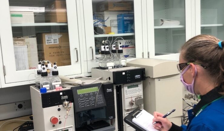
Assessing Methylene Chloride Levels in Laboratories
CSS employee owners supporting the University of Kentucky have started sampling campus laboratories with high use of methylene chloride to assess levels of employee exposure. This effort is in response to the Environmental Protection Agency (EPA) issuing methylene chloride regulations under Section 6(a) of the Toxic Substance Control Act in the Federal Register on May…
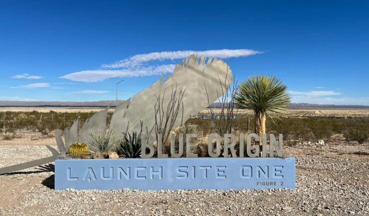
Ensuring Smooth Operations at Blue Origin Facilities
At CSS, we’re proudly to plays a vital role in supporting Blue Origin’s groundbreaking endeavors in Texas and Washington. Our dedicated team is at the forefront of facilities and hospitality services, ensuring that every operation runs seamlessly. CSS employee owners are integral to the success of Blue Origin’s Texas launch and testing activities. With highly…
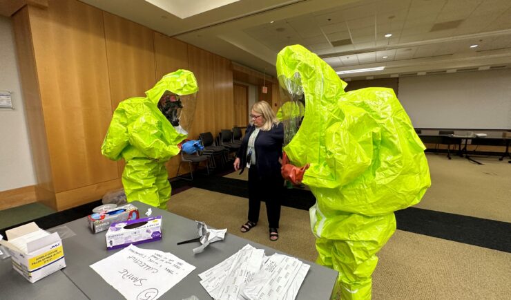
Providing Yearly Response Training
CSS scientists supporting the Environmental Protection Agency’s (EPA) Scientific and Technical Assistance for Consequence Management (STACM) contract are experienced in EPA’s emergency response efforts, both natural and manmade. To help EPA staff prepare for these emergency response efforts, CSS staff provide yearly response training. The training includes review of respiratory protection equipment, operation checks, a…