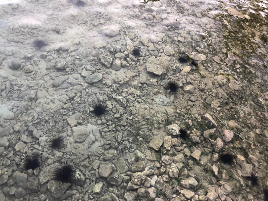

A diver collects a long-spined sea urchin. Credit: Blake Gardner
Our employee owners were recently part of a team of detectives on a mission to discover the killer of long-spined sea urchins, Diadema antillarumy, throughout the Caribbean Sea. The infected urchins lose their spines, leaving them more vulnerable to predation or dying after a few days. In 1983 the same species experienced mass mortality with identical symptoms, but scientists were unable to discover the culprit. Forty years later, the issue resurfaced, and a team of scientists joined forces to unlock the mystery.
CSS employee owners, supporting NOAA’s Coral Reef Conservation Program and NOAA’s Office for Coastal Management, joined a team of scientists in diving to collect urchin samples at 23 sites around the Caribbean Sea. By providing the samples, the researchers were then able to examine and test the urchins and compare them to healthy urchins to determine the cause of the mortality.
Due to this rapid response, scientists determined the cause of the issue within three months
Our staff coauthored this paper documenting the process. https://www.science.org/doi/10.1126/sciadv.adg3200

Researchers examine a long-spined sea urchin. Credit: Leslie Henderson
See More CSS Insights

CSS Employee Owners Receive NOS Team Member of the Year Awards
Congratulations to two CSS Employee Owner who received a National Ocean Service (NOS) Team Member of the Year Award for their dedication and hard work over the past year. One employee owner received an NOS Team Member of the Year Group Award as part of Team Lynker, the prime contract company with NOAA’s Office for…
Providing Skills to Build Relationships with Underserved Communities
CSS talented learning specialists supporting NOAA’s Office for Coastal Management (for which we subcontract through Lynker) are integral contributors to a team of federal staff and affiliates who develop training to assist coastal community decision makers and resource managers with building skills needed to enhance their communities. CSS learning specialists recently led the development of…
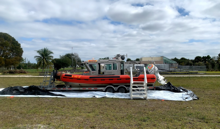
Large-Scale Decontamination Proves Successful
In the spring of 2022, we worked with the U.S. Environmental Protection Agency and the U.S. Coast Guard on a project called Analysis for Coastal Operational Resiliency-Wide Area Demonstration (WAD) which tests large scale decontamination following the release of surrogate bioagents. The team conducted a WAD at a military base in Virginia to test decontamination…